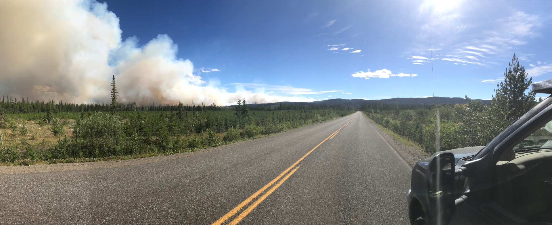
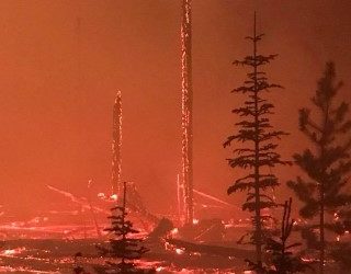
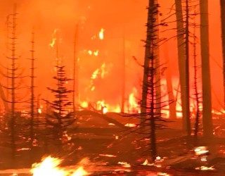
Wildfire Mitigation Planning
Chinook Community Forest is undergoing a Wildfire Mitigation Planning process, in part to address the ongoing threat to the land-base and our communities. We will be making periodic posts to update the plan and provide information and maps to show areas of risk.

BC Community Forest Film
Link to the BCCFA Film, which features several community forests across the province, including Chinook Community Forest located in the Lakes District. Click here to watch: BCCFA - Rooted Together Film From the BCCFA press release: The BC Community Forest Association...
Fuel Treatment Explainer Brochure
BCCFA, in collaboration with UBC Centre for Wildfire Coexistence, BC Wildfire Service, First Nations' Emergency Services Society and the Silviculture Innovation Program, have produced the brochure Fuel for Thought. The brochure "is designed to support forest...
Chinook Annual Report – April 1, 2023 – March 31, 2024
Chinook Community Forest Annual Report for the fiscal year ending March 31, 2024. Chinook had a successful year supporting the Lakes District economically and socially. To review the report, click here: 2024 Chinook Comfor Annual Report
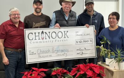
Chinook Emergency Response Society Receives $10,000 in funding.
On December 12, the Chinook Emergency Response Society (CERS) representatives received a holiday surprise, a cheque for $10,000 from the Chinook Community Forest. Board members commended CERS for their ability to action fires quickly reducing the amount of timber...
2018 Same Year Burn Severity Analysis
Chinook using its HRIS conducted a burn severity analysis of the 2018 wildfires with in the K4R licence.
K4R Fire Threat – 2 KM Buffer
This map identifies high risk areas within a two KM radius of communities.
K4R Fire Threat – 5 KM Buffer
This map identifies high risk areas within a five KM radius of communities.